
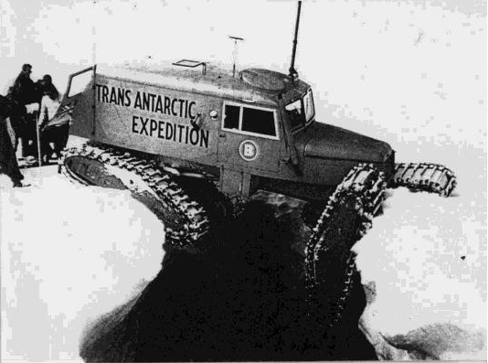
Fig.1: Past accident in Antarctica.
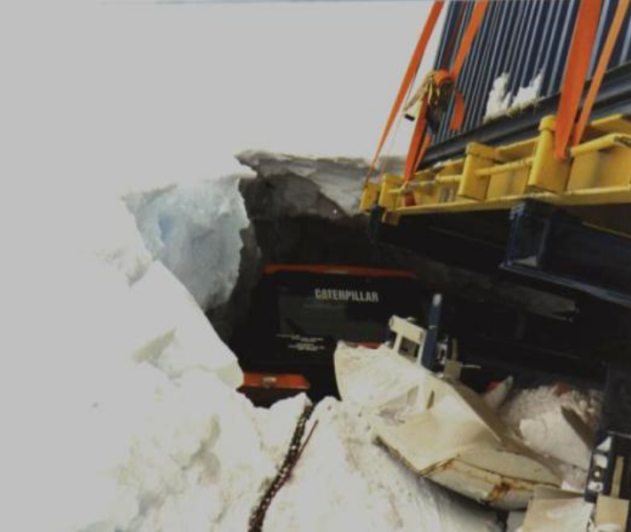
Fig.2: Nowaday accident in Antarctica.
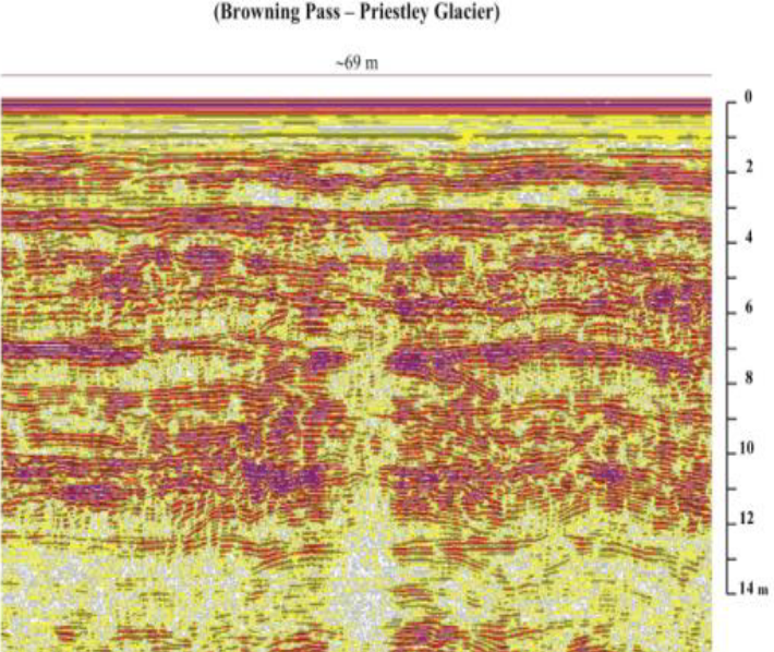
Fig.3: Creavas RADAR measurement.
Moving in a glacial environment involves many kinds of risks. Recently, there are more and more studies for those who need to move over long distances across the Antarctic continent or over distances beyond an Alpine glacier. For exploration and logistics teams moving over the ice surface, the greatest risk may be ascribed to the presence of buried crevasse areas, which are not directly visible to drivers of mechanical vehicles or even teams on foot. For this reason, many accidents have occurred, some with dramatic outcomes. Figures show some examples of “lucky” token from the past (fig. 1) to nowaday (fig. 2). In the Figure 3 it is shown how crevasses appear in radargrams.
The shallow depth (25-50 m of depth) of investigation and the necessary high resolution, turned the choice of instrumentation to the GPR. An helicopter coupled with a very precise GPS could give an accurate crevasses position map,in which geometry, thickness and condition of the snow bridges can be evaluated.
From the radargramms it is possible to identify the position of the crevasse, its width and the thickness of the snow bridge above it that are very useful information to evaluate the dangerousness of the crevasses.