


Fig.1: Intenal layers in the first 70 m of ice
Reflections from the inner layers of the ice sheet have played a very important role in glaciological exploration. Since the first RES observations were collected, a large number of reflections have appeared on radar-grams in the interval between the surface and the bedrock. They usually show a large variation in reflectivity, a high correlation with the main bedrock morphologies and less evidence towards the surface (Fig. 1) where bedrock conformations are completely lost. Many sources have been identified for these internal reflections: volcanic dust, variation in acidity, changes in the size or shape of air bubbles within the ice, variation in the orientation and density of ice crystals, paleo surfaces (such as crusts different from contiguous stratifications), layers of liquid water, etc. These layers are important because their continuity is assumed to represent a layer that was laid down in the same epoch of time, i.e. isochronous. The integrity of the layers makes it possible to follow the epoch and sometimes even the year of their formation. For example, notable eruptive events that have thrown enormous quantities of dust into the atmosphere, which is then found deposited in a layer, constitute a temporal 'marker' that can be placed on a precise date, such as the eruption of Vesuvius or Tambora. In other words, it is assumed that the arrival times of the most prominent internal reflections in the radar-gram represent stratification produced by a specific event, and that these layers producing more intense radar reflections are isochronous (Vaughan et al. 1999). Consequently, variations in snow thickness between these reference layers provide information on the variability of snow accumulation.
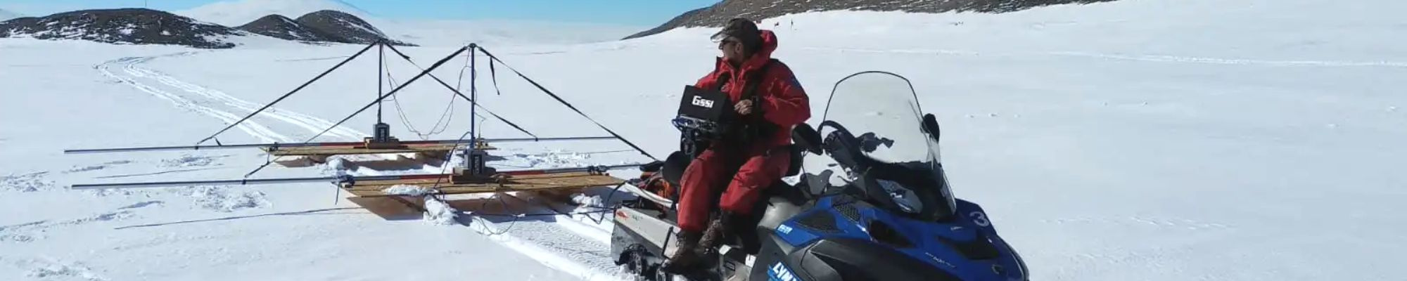
This kind of information is very important in many glaciological issues, like for example the assessment of an ice-drill location (at the same depth, sites where snow accumulation is less, correspond to older deposits). In this context, RES and GPR surveys have been used to investigate the same area at different scale resolutions. RES is mainly used to provide information about the main layer distribution over great distances and depths neglecting shallow small scale details (like wind driven redistribution). On the contrary, GPR is mainly used to analyze the problem of ice-atmosphere interaction in superficial snow redistributions (mega-dune areas, erosion and accumulation driven by surface morphology and prevalent wind direction along the maximum slope direction). In figure 4 a GPR radargram (antenna frequency 200 MHz, investigated depth 70 m) is reported. It shows a very high variation in snow accumulation over relatively short distances due to ice-atmosphere interaction.