


Fig.1: RADAR signal of a subglacial lake.

Fig.2: Discovered sublacial lakes in Antartctica.

Fig.3: Satellite image of Vostok lake.
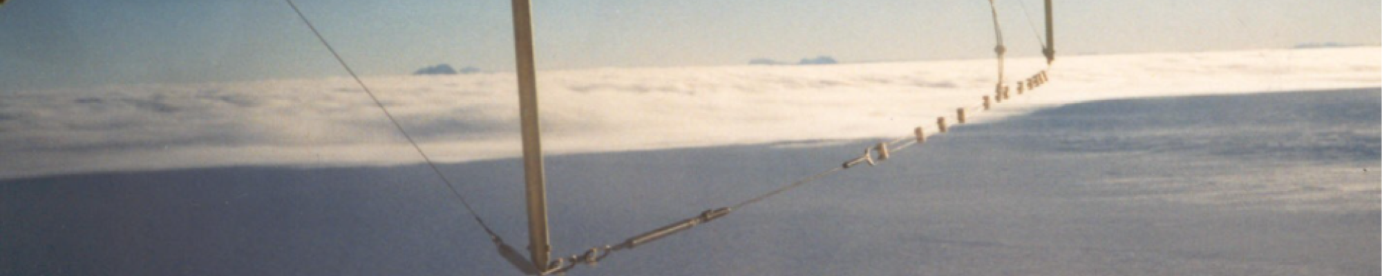
The first hypothesis of the existence of lakes beneath the Antarctic ice sheet was formulated by studying aerial radio soundings collected in the 1960s and 1970s (Drewry, 1983). Over the past decade, the characteristics of these subglacial lakes have been studied in depth using geophysical instruments. We now know that more than 150 lakes exist below (3 km) the Antarctic ice caps (Fig. 2 - Siegert et al. 2005). The so-called Siegert catalogue lists about 20 Italian lakes marked with a green triangle. They are located in contact with the bedrock mainly under the significant thicknesses (dome) of the Antarctic glacier and the total volume of water stored in these lakes is between 4000 and 12000 km3 (Dowswell and Siegert, 1999). Subglacial lakes occur essentially due to three factors: a) the enormous pressure under the ice sheet reduces the melting point of the ice; b) the ice sheet insulates the bedrock from low surface temperatures; and finally, c) the base of the glacier is home to geothermal flow. The RES technique is generally used to identify subglacial lakes, but a strong signal alone is not sufficient. The strong radar reflection from the base of the ice sheet could be attributed to either water-saturated basal sediments or subglacial lakes. Lake identification is possible if other conditions are present. The identification of flat, horizontal reflectors with almost constant echo intensity generally surrounded by bank profiles is necessary (Fig. 1).
In addition, the reflected signal strengths of the ice-water and ice-rock interfaces must differ by more than 10 dB Approximately 81% of the lakes surveyed (right of figure) are located at altitudes of less than a few hundred metres above sea level, while most of the remaining lakes are located at higher altitudes. The largest and best documented of the subglacial lakes is undoubtedly Lake Vostok (see map). Lake Vostok was identified in 1996 by Russian and British scientists (Kapitsa et al., 1996) who integrated radar data from seismic measurements and space satellite observations (left in the figure).The horizontal extent of the lake is estimated from the flat surface (0.01 degrees) observed in the ERS-1 ice surface altimetry (Fig. 3). The 4-kilometre thick ice cap floats on the lake, just as the ice caps become floating ice shelves on the grounding line. Lake Vostok is about 230 km long and has an area of about 10000 km2, similar to that of Lake Ontario. A maximum water depth of 510 m has been measured using seismic methods and the average water depth is about 200 m. The estimated volume of Lake Vostok is about 2000 km3. The other known subglacial lakes are one or two orders of magnitude smaller than this one. Recently, scientific observations indicate the existence of a subglacial hydrological network in which liquid water can flow and can be stored in subglacial basins by water networks that also connect them. Recently, some peculiar studies have been proposed on the amplitude of radar signals received at the ice-rock interface to discriminate wet or dry rock conditions. Some interesting results from these studies and maps of the dry/wet interfaces have been proposed by several authors, contributing to a better understanding of the existence of water circulation under kilometres of ice (Jacobel 2009).