

Campagnedescrizione

IRES: Italian Radio Echo Sounding (RES)  is a data repository and GIS, Geographic Information System database containing RES data from radar glaciology, flight routes and ground measurements carried out since 1995 on Antarctic and Alpine glaciers which allows to view and download the acquired data.

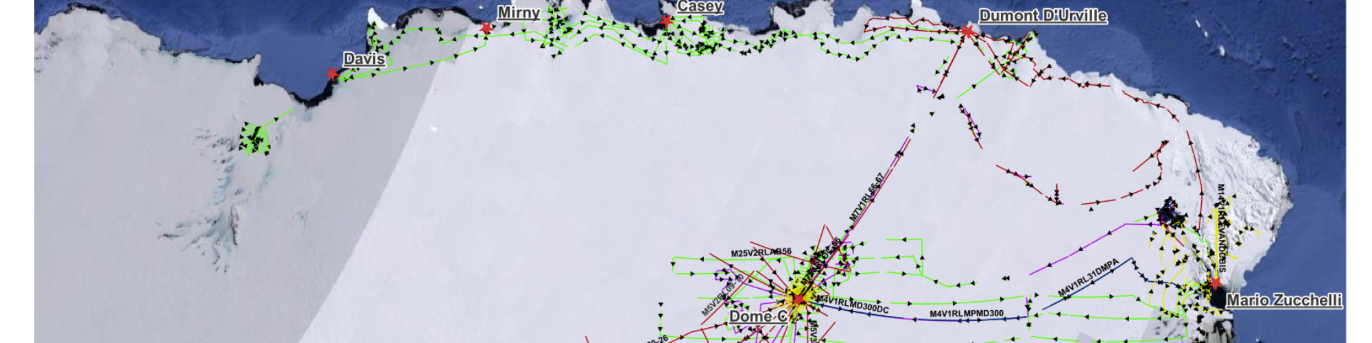
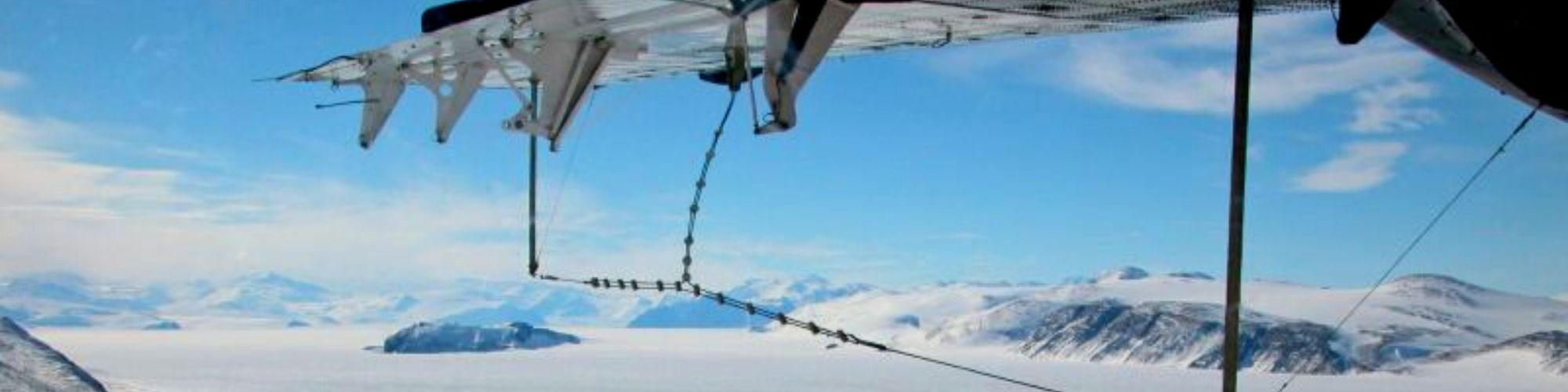
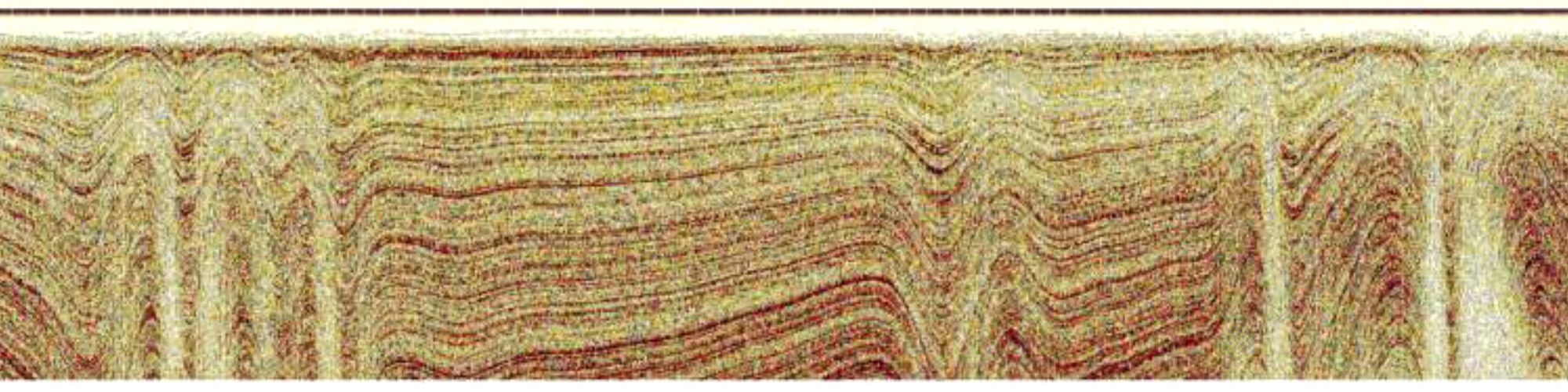
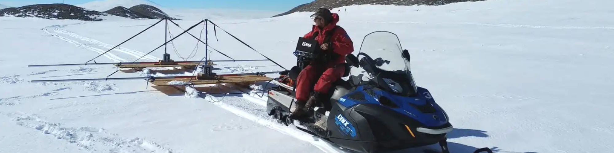
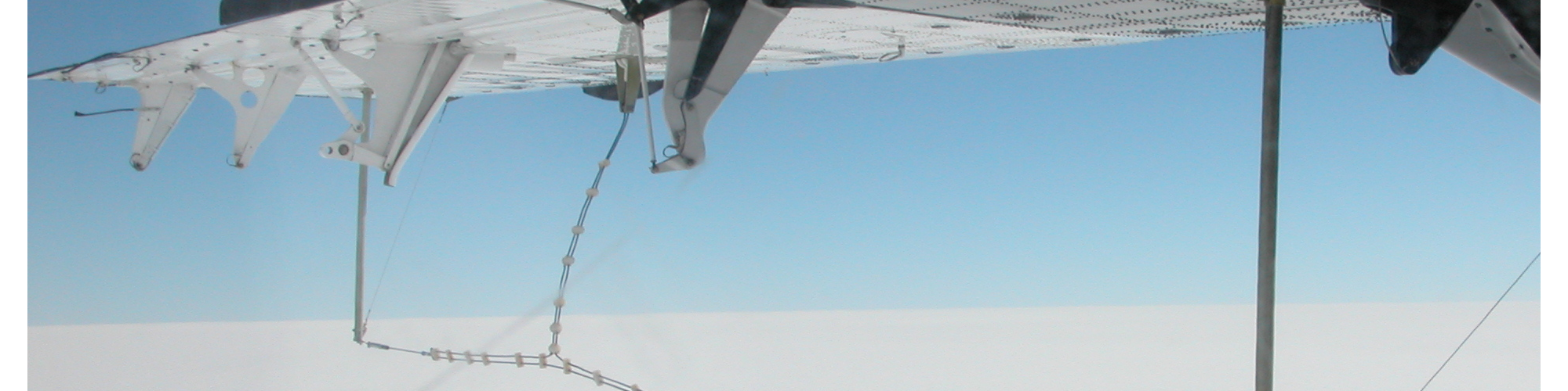
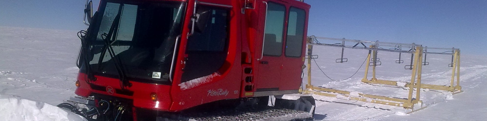
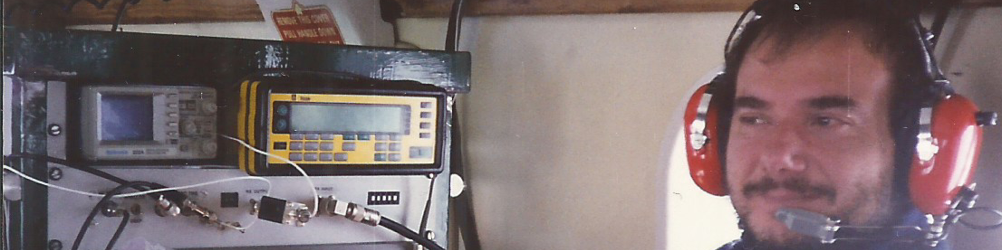
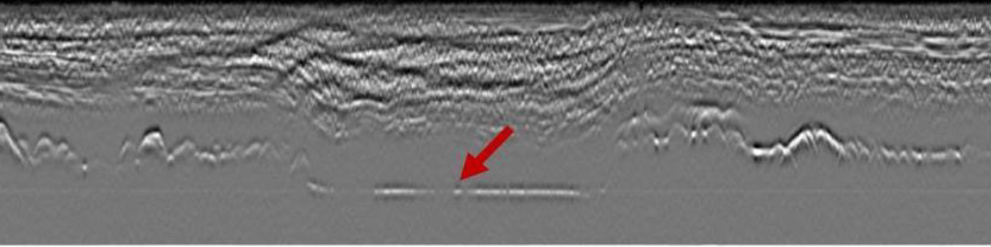
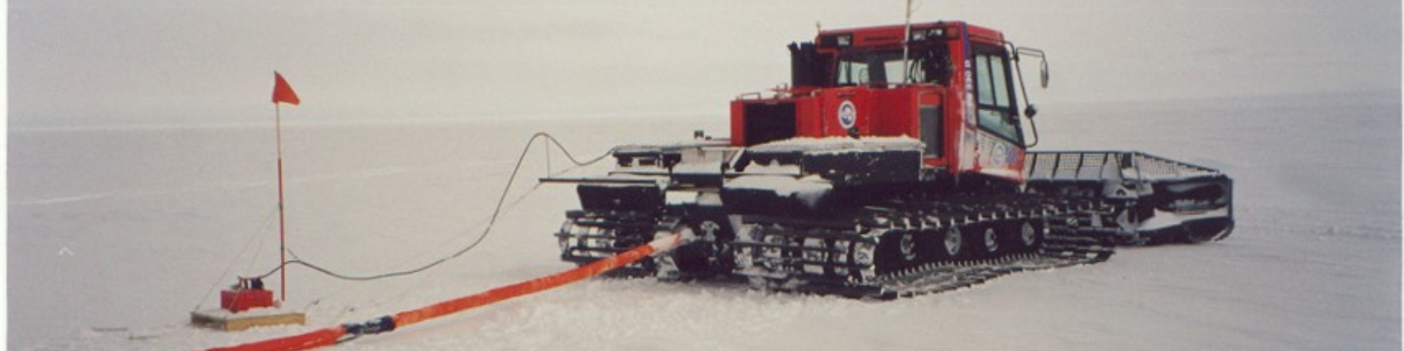
Through the RES measurements of the glaciological radar it is possible to explore, with the use of a radar signal, the interior of glaciers, ice caps, sea ice and subglacial lakes allowing to determine the thickness of the ice, the internal stratifications and the physical conditions of the ice at the bedrock. All these data was collected and sorted within a radio glaciology database containing all the information relating to the measurements made to date by the Italian radarglaciology group. The database also contains all the main information about the measurements campaign such as year, mission, flight, radar paths, direction of acquisition and positions. 

This information is made available through the INGV WEB pages to all interested users, in order to inform and share the results obtained with the scientific community. The site also contains explainations on the measurement methodology and instrumentations used including their  peculiar characteristics  many of which were made at the INGV Radio Frequency laboratory.

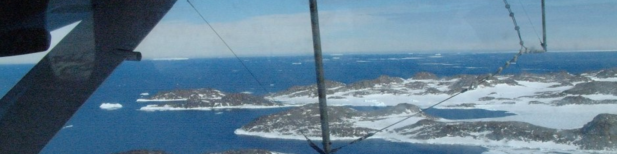
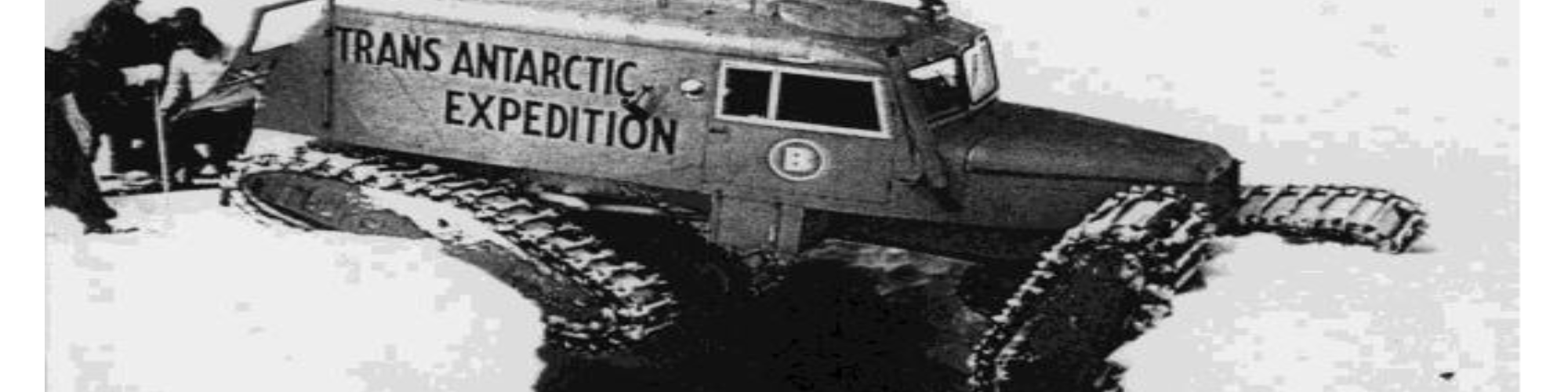
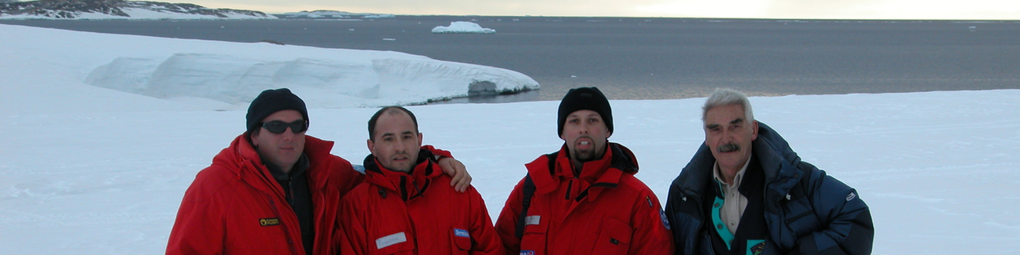
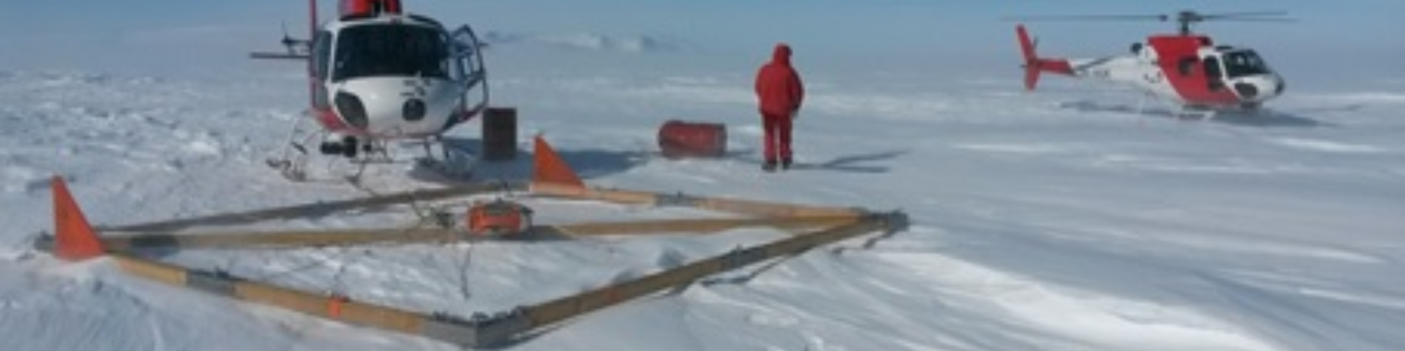
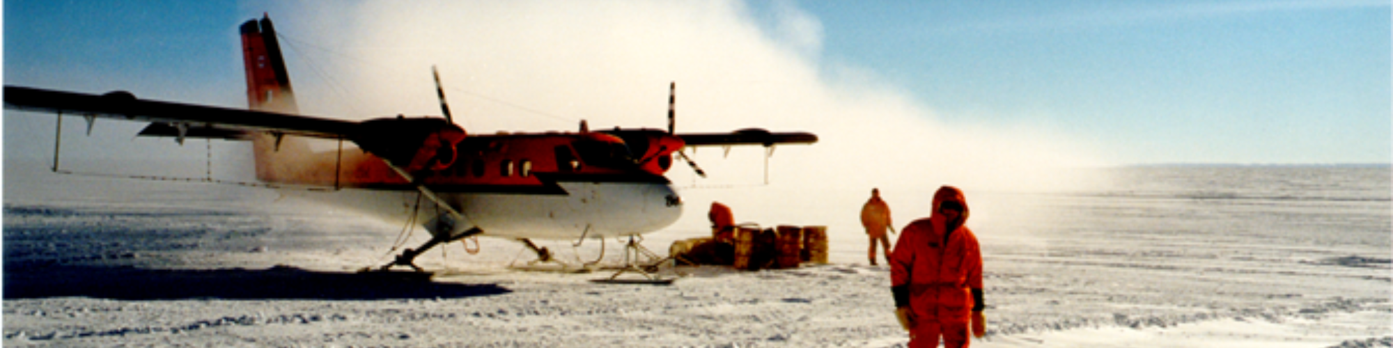
The Antarctic campaigns was supported by PNRA (National Research Programs in Antarctica) and refer to the measurements campaign: 1995-1996; 1996-1997; 1998-1999; 2000-2001; 2002-2003, while the Italian campaigns on alpine glaciers are more recent and highlight the recent climate changes Alpine glaciers are experiencing.

To make the acquired data accessible to users, two webGIS maps Italian and Antarctic have been created for a quick consultation of the database. The webGIS maps allow to view all the flights and information relating to the acquired data in the area of ​​interest in an intuitive and interactive way making easier to consult and download the database data through a selection mask.


Cesidio Bianchi, currently holds the position of Research Associate at the National Institute of Geophysics and Volcanology.  
His main research interest is in the field of radio propagation and measurement instrumentation using radio techniques and related signal analysis. He is also interested in the design and construction of analogue and digital electronic devices for measurements in the upper atmosphere and in radio-glaciology. He has mainly studied the theoretical aspects of radio-propagation, is involved in measurements using radio and radar techniques and the development of related instrumentation. With regard to the latter, he has conducted research into the interaction of electromagnetic waves with ionised media and glaciers, designing various radar devices in the HF and VHF bands for this.
As head of the technology laboratory, together with the team of researchers and technologists, he designed various types of electronic and measurement devices, including: an HF-Doppler radar for ionospheric plasma drift measurements, an ionosonde (HF radar with complementary phase code) for measuring electron density in the upper atmosphere, an airborne envelope VHF radar for glaciological applications, and a pulse compression VHF radar designed to be installed on an aircraft to carry out continental-scale surveys in Antarctica. He has also studied the problems associated with ray tracing in anisotropic and inhomogeneous media with the development of software application packages for wave beam path determination and related problems.
He is the author of about 100 publications in leading international journals and several patents on radio and radar instrumentation for geophysical applications.