Select your language

  • IT
  • EN
Italian Radio Echo Sounding
INGV Sezione Roma2
Programma di Ricerche in Antartide
  • Home
    • Photos
  • Measure
    • Measurement technique
    • Ice depth and bedrock elevation
    • Layers measurements
    • Subglacial measurements
    • Crevaces measurements
  • Instrumentation
  • Campaigns
    • Description
    • Antartctic campaigns
    • Italian campaigns
  • Maps
    • Antartic fligths map
    • Italian fligths map
  • Download
    • Files format
    • Antarctic Download
    • Italian Download
  • Projects
    • MACMAP
    • PNRA
  • Publications
  • Staff
  1. You are here:  
  2. Home
  3. Publications
  4. Uncategorised

Photo

DSC00407.jpg
DSCN1783.jpg
DSCN1794.jpg
DSCN1802.jpg
DSCN1809.jpg
DSCN1818.jpg
DSCN1823.jpg
DSCN1845.jpg
DSCN1871.jpg
DSCN1874.jpg
DSCN1878.jpg
DSCN1930.jpg
DSCN1984.jpg
DSCN1985.jpg
DSCN1988.jpg
DSCN1989.jpg
DSCN1990.jpg
DSCN1992.jpg
DSCN1994.jpg
DSCN1995.jpg
DSCN1997.jpg
DSCN2023.jpg
DSCN2025.jpg
DSCN2026.jpg
DSCN2027.jpg
DSCN2028.jpg
DSCN2034.jpg
DSCN2040.jpg
DSCN2048.jpg
DSCN2057.jpg
DSCN2060.jpg
DSCN2063.jpg
DSCN2104.jpg
DSCN2119.jpg
DSCN2120.jpg
DSCN2121.jpg
DSCN2123.jpg
aDscn8342.jpg
aDscn8361.jpg
aDscn8373.jpg
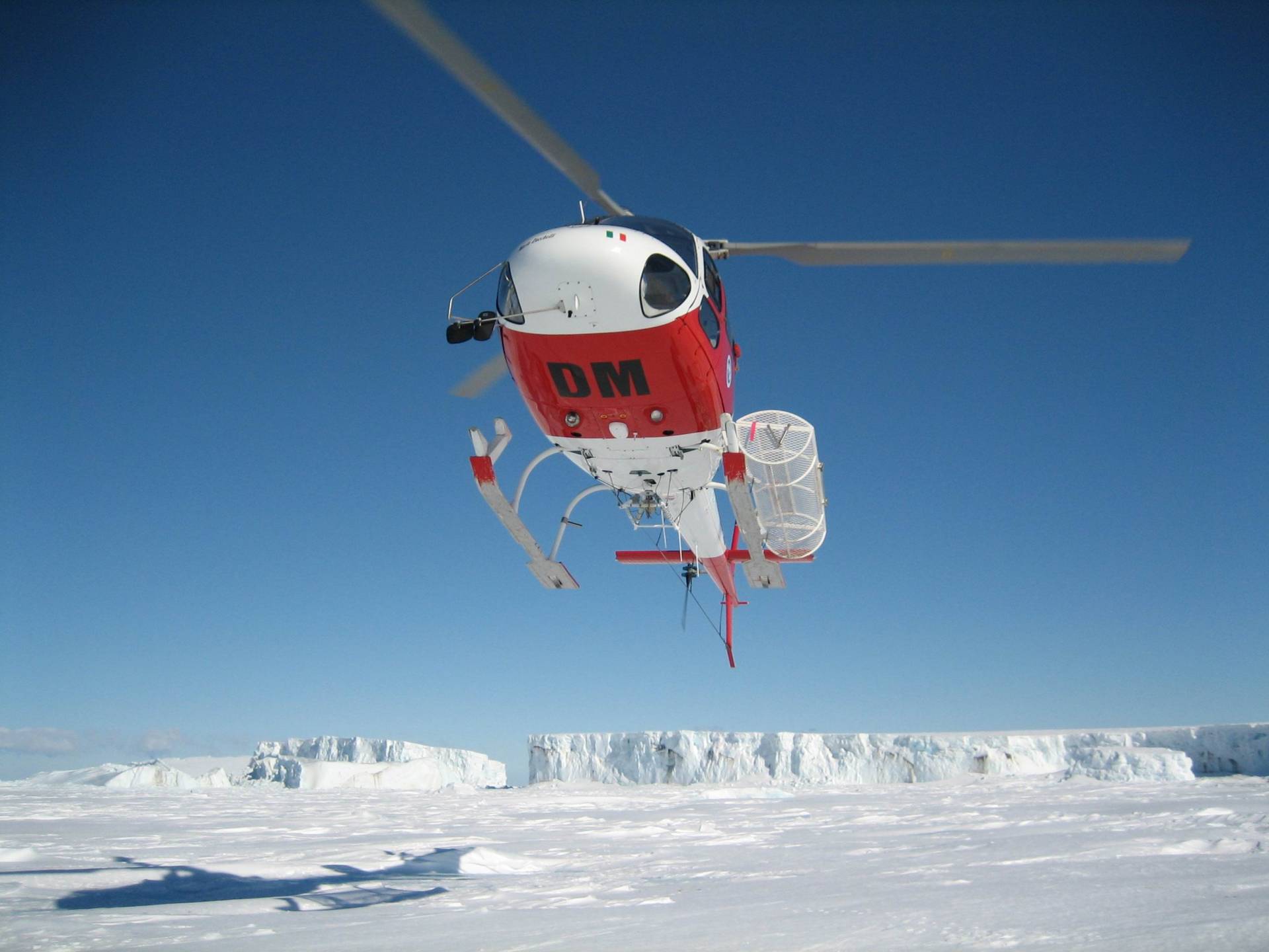
elic.jpg
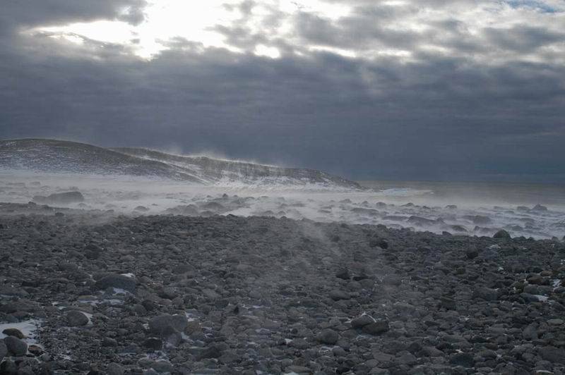
vento.jpg
previous arrow
next arrow
DSC00407.jpg
DSCN1783.jpg
DSCN1794.jpg
DSCN1802.jpg
DSCN1809.jpg
DSCN1818.jpg
DSCN1823.jpg
DSCN1845.jpg
DSCN1871.jpg
DSCN1874.jpg
DSCN1878.jpg
DSCN1930.jpg
DSCN1984.jpg
DSCN1985.jpg
DSCN1988.jpg
DSCN1989.jpg
DSCN1990.jpg
DSCN1992.jpg
DSCN1994.jpg
DSCN1995.jpg
DSCN1997.jpg
DSCN2023.jpg
DSCN2025.jpg
DSCN2026.jpg
DSCN2027.jpg
DSCN2028.jpg
DSCN2034.jpg
DSCN2040.jpg
DSCN2048.jpg
DSCN2057.jpg
DSCN2060.jpg
DSCN2063.jpg
DSCN2104.jpg
DSCN2119.jpg
DSCN2120.jpg
DSCN2121.jpg
DSCN2123.jpg
aDscn8342.jpg
aDscn8361.jpg
aDscn8373.jpg
elic.jpg
vento.jpg
previous arrow
next arrow

Credits

CREDITS

None of the IRES data can be used without accurate reference to:
Urbini S., Zirizzotti A., Bianchi C., Cafarella L., Baskaradas J., Sciacca U. (2023). IRES Italian Radio Echo Sounding. Istituto Nazionale di Geofisica e Vulcanologia (INGV). https://doi.org/10.13127/ires

Web Group: Enrico Rocchetti, Simone Vecchi.

RESPONSIBILITY AND COPYRIGHT DISCLAIMER

This web site contains data and information property of the Istituto Nazionale di Geofisica e Vulcanologia in Rome (Italy). Such data and information are subject to the following disclaimer for responsibility and copyright.

RESPONSIBILITY AND COPYRIGHT DISCLAIMER

The information contained in this site don’t imply the responsibility of the Istituto Nazionale di Geofisica e Vulcanologia. Our purpose is to supply reliable scientific information to the members of the national and international scientific community and to whoever could be interested in them. However, if errors are brought to our attention it will be our care to correct them. Anyhow, the Istituto Nazionale di Geofisica e Vulcanologia doesn’t engage any responsibility for the site material content. This material is constituted by information of general character, result of specific researches, or data coming from the monitoring networks. It is not necessarily complete, accurate and updated. Sometimes it links to specific external sites that are not under the Istituto Nazionale di Geofisica e Vulcanologia’s control and therefore the Istituto Nazionale di Geofisica e Vulcanologia is not responsible for the contents of any linked Web sites.

Finally, this material is not intended for professional or legal use.
Please note that it cannot be guaranteed that a document available on-line exactly reproduces an official text, therefore only the vision of the hard copy of the document distributed by the Istituto Nazionale di Geofisica e Vulcanologia is deemed authentic. It is our goal to minimise disruption caused by technical errors and we invite, therefore, the consumers to take all the possible preventive actions to avoid the problem.
This disclaimer is not intended to avoid the obligations of the national laws, nor to exclude its liability for matters that may not be excluded under that law.

COPYRIGHT

The staff of the Istituto Nazionale di Geofisica e Vulcanologia provides information and data contained in this web-site.

All the rights of intellectual property related to these information and data are owed by the Institute and are under the protection of the present laws.
Except where otherwise noted, all Database contents are:
© INGV – Istituto Nazionale di Geofisica e Vulcanologia – All rights reserved.
Permission to copy or reproduce parts of the Database is granted subject to full acknowledgement of the source.

Staff

Ezio  tondi photo

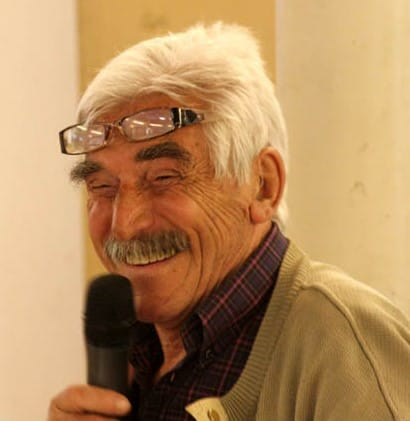
Prof Ignazio Tabacco (Ezio)

Rosaria tondi photo

Cesidio Bianchi 

photo
  Michelina Serafini

photo
Alessandro Forieri

photo

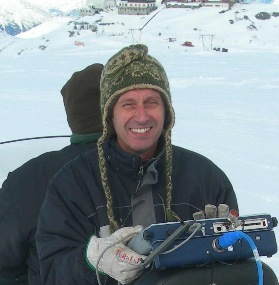
Stefano Urbini

photo
Andrea Passerini

photo
Achille Zirizzotti

photo
James Baskaradas

lili cafarella photo
Lili Cafarella

Rosaria tondi photo

Umbero Sciacca 

PNRA

PNRA18_00208 MIMIC Multidisciplinary Investigations on mount Melbourne volcano and its fumarolic Ice Caves (PI Gaetano Giudice)

Mt. Melbourne is a quiescent stratovolcano located close to the Mario Zucchelli Station (about 40 km)
Recently, the presence of large fumarolic ice caves (FIC), formed by the heat released from fumaroles and ground, was confirmed on Melbourne
in the framework of the PNRA Ice-Volc Project.  Besides, in the last XXXIII PNRA Antarctic Campaign, some test flights of an airborne Ice Penetrating Radar (IPR) were conducted on the caldera (see: in support documentation) revealing the presence of large passages within the ice cap that showed a good correlation with the position of the FIC surveyed by Ice-Volc Project. IPR data also showed a good snow/ice internal layering likely related to the presence of tephra layers probably due to the most recent eruptive activity

The possible presence of volcanic structures buried under the ice cover will be investigated by means of both a RES system and a single pulse
radar. The RES system works in 24V d.c. with a maximum peak power of 1-10kW and exploits Radarteam (40MHz) and GSSI (16MHz) antennas
specially modified for this project. Regular grids of airborne measurement with lines spacing of 50 m will be performed on the Mt. Melbourne
Caldera exploiting different frequencies antenna. Based on the obtained results, some part of interest will be investigated with more dense grids by
on-ground measures. The identification of englacial tephra will be performed by means of a GPR system equipped with 40-200-400 MHz
antennas.

MACMAP

The MACMAP project (Multidisciplinary Analysis of Climate change indicators in the Mediterranean And Polar regions) has, among other activities, the work package 5 whose activities will allow to measure some effects of climate change on the cryosphere through the development of innovative radar systems, the installation of seismic and tide gauge stations, satellite measurements and numerical simulations on a local and global scale. The evolution of the dynamics of the cryosphere will also be interpreted in relation to atmospheric conditions and the radiative balance on the ground thanks to measurements obtained at the Thule observatory.

Within WP5 "Geophysical observations in Polar and Alpine environments" (PI Giovanni Muscari) The radio glaciology group is involved in task 5.2 "Radio Echo Sounding (RES)" in the realization of an innovative glacioradar built with SDR (Software Defined Radio) device, the task involves the creation of a new version of an INGV “GlacioRADAR” airborne RES system. The main innovation will concern the use of a radar with a monostatic chirp code. A further improvement will consist in downsizing and lightening the system to increase its portability. The new RES system will be tested on alpine glaciers previously studied in the alpine countryside (2013) and the interpretation of the profiles will benefit from the seismological measurements of the project.

In the first year of the task activity a simulations have been performed for the design of the new Glacioradar, trying to optimize the system for the best radar waveform to use. An example is reported in the figure below.

Figure_1.png

Figure 1 - The phase coding (Baker code) of the transmitted signal is displayed in the upperplot. The lower plot shows its power spectrum with the vertical line indicating the frequency range containing 99% of the transmitted power

 Based on the work carried out during this first year, a table of the main instrument characteristics has been laid out (Table 1).


CARATTERISTICHE NUOVO GLACIORADAR

Parametro

Valore

Note

Frequenza

10 – 400 MHz

Frequenza segnale

Pulse Repetition Rate (PRR)

100 Hz

n° di tracce radar/s

Sample rate

25 MHz

Risoluzione  in metri

Durata impulso

1.040 us


Subimpulso

80 ns

Durata subimpulso

Lunghezza codice

13 bit

 Barker code

Risoluzione

12 m


Punti per traccia

2048


Durata traccia

81.92 us


Profondità d'indagine

12.3 km


Numero punti traccia

2048


The core of the system will be based on a programmable SDR commercial system (Software Defined Radio) like the ETTUS N300 while the whole electronic parts from the antennas to the SDR will be designed and built at the INGV laboratory.

N300.png

Caratteristiche N300:

  • 10 MHz to 6 GHz frequency range
  • Up to 100 MHz of bandwidth per channel
  • 2 RX, 2TX
  • RX, TX filter bank
  • 16 bit ADC, 14 bit DAC
  • Sample rates: 122.88, 125, and 153.6 MS/s
  • Xilinx Zynq-7035 SoC
  • Dual-core ARM Cortex-A9 800 MHz CPU
  • PPS time reference
  • Built-in GPSDO

Second year activities.

The prototype of the new glaciological measurement radar uses the SDR (Software Defined Radio) N300 programmable device from Ettus Research. The programmable SDR devices allow to generate and acquire modulated radio signals in a wide range of frequencies making the radar flexible and usable in different types of RES measurements such as ground measurements or measurements by helicopters or airplanes. The first laboratory tests of the SDR device were carried out by writing the C ++ code that generates all the radar signals that will satisfy the radar characteristics defined in the first year of the project. After testing the code, we moved on to the creation of the front-end electronic circuits for interfacing the radiofrequency power amplifier with the SDR device. The level adapters of the trigger signals and the signal limiters of the receiving antenna have been designed. After the design phase of the circuits and electronic boards, we moved on to the assembly phase.

adapter scheme

Fig3: Adapter scheme.

The electronic components were mounted on the boards and all laboratory tests of the level adapters of the trigger signals and the signal limiters of the receiving antenna were carried out. Tests were carried out to verify the levels of the digital signals and the operation of the limiters in all the working configurations of the radar. For the helicopter measurements that will be carried out on alpine glaciers it was decided to use Radarteam's SE40 antennas operating at 40 MHz.

Elicopter 2

Fig.4: SE40 antenna mounted on the helicopter.

These antennas are already available in our electronic laboratories and can be easily transported on ice with sledges or mounted under the helicopter with suitable adapters. For the SE40 antennas, 2 40 MHz baluns have been created for the adaptation between the balanced 300 ohm line of the antennas and the unbalanced 50 ohm line of the radar transmitter and receiver. The baluns were made with two high-frequency transformers and the whole was assembled in two electronic drawers (see fig.1) to be inserted inside the antennas and properly connected. Subsequently, impedance measurements were performed with the network analyzer to verify correct operation. Fig. 2 shows the Smith diagram of the real and imaginary part of the antenna input impedance with the balun mounted.

 Fig5: antennas drawer.                                              Fig.6: Smith diagram of input antenna drawer. 

  1. Publications
  2. Antarctic Data Download
  3. Antarctic data
  4. Italian data download

Page 1 of 3

  • 1
  • 2
  • 3
Creative Commons License
IRES data by Istituto Nazionale di Geofisica e Vulcanologia are licensed under a Creative Commons Attribution 4.0 International License .
Based on a work at http://ires.ingv.it/.Permissions beyond the scope of this license may be available at Credits & Disclaimer
DOI : https://doi.org/10.13127/IRES
.
SEDE CENTRALE
Via di Vigna Murata 605
00143 Roma
RECAPITI TELEFONICI
+39 06 518601
Fax  +39 065041181
CONTATTI
aoo.roma2@pec.ingv.it
info@ingv.it
CODICE FISCALE
 P.IVA 06838821004